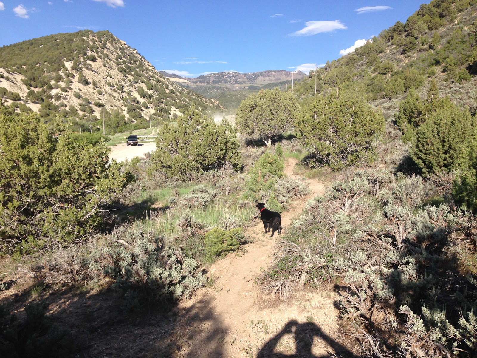
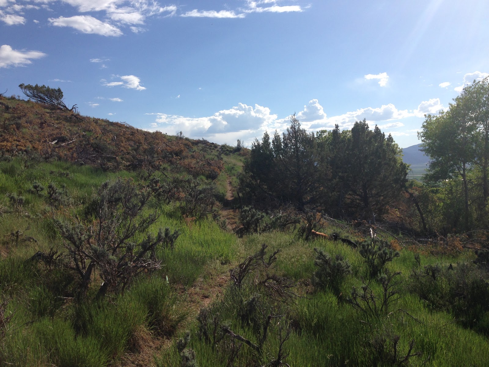
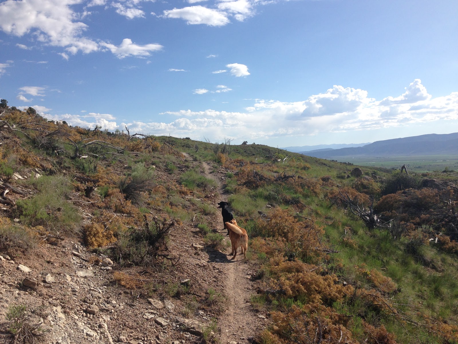
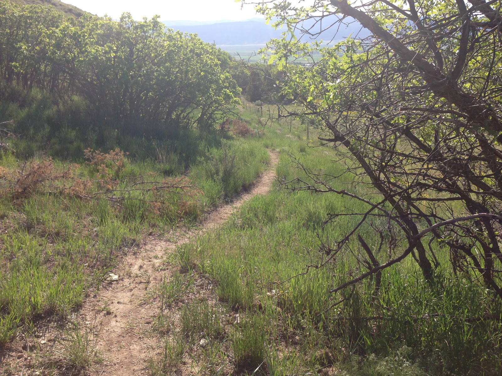
In the last few months I have been kind of repairing an old trail that was built like 3 or 4 years ago. I did half of the work on this trail 4 years ago and another person did the top half. It didn't turn out very good because the people I told this trail to told me it was too hard to go uphill on it. The reason why we wanted to make it an uphill trail so that the bottom of the canyon would be an uphill route for the downhill Flume Trail Loop instead of going up the paved road. So the trail has kind of overgrown and wasn't ridden at all. I was thinking about repairing it for the past few years and looking at where I could make it easier to go up and make it less steep. I was worried I was doing this trail building illegally but somebody told me I would be fine and just go for it. So I did it and took the risk and I will see what will happen. So this blog has a lot of pictures because these pictures are in order of the trail going up to the mouth of Ephraim Canyon by the Hydroplant and then pictures riding downhill on the same trail. Here goes:
The picture above is the bridge right at the bottom of the Flume where the Flume ends. So instead I am starting the trail backwards from the end of the Flume. So you go up this repaired bridge which was damaged over the years.
I am planning in the future to build an easier grade trail in this little creek in the above picture to make it easier for beginners and intermediates like myself to ride up.
I made this new trail section at the bottom the Flume years ago to make it so you can climb up to the top of this hill instead of that steep drop off that cuts down on another side of the hill where the actual Flume Trail is. But this part, a beginner still can't climb up this section so that is why I want to do another trail that spreads out further on the hill to make an easier climb. But for now, this is ok but I don't know when I will do more repairing on this section. But the old two trails will stay there so there will be an A line, a B line, and a C line. This will be pretty interesting!
Then after the little climb, you will go uphill on the Flume until you get here at this Y intersection. The right is the Flume and the left is the new Deer Run Trail. And it's hard to go to the Flume way because it's very steep, unless you are on a dirt bike which might be fun.
You just keep going and climbing very gradually but it is not steep at all. I repaired this section on the picture above so you can see the old trail used to go on the steep right going straight up and the left is the new part to make it way less steep.
Then ride on the old trail which turned into a game trail. Well, it always has been a game trail anyway.
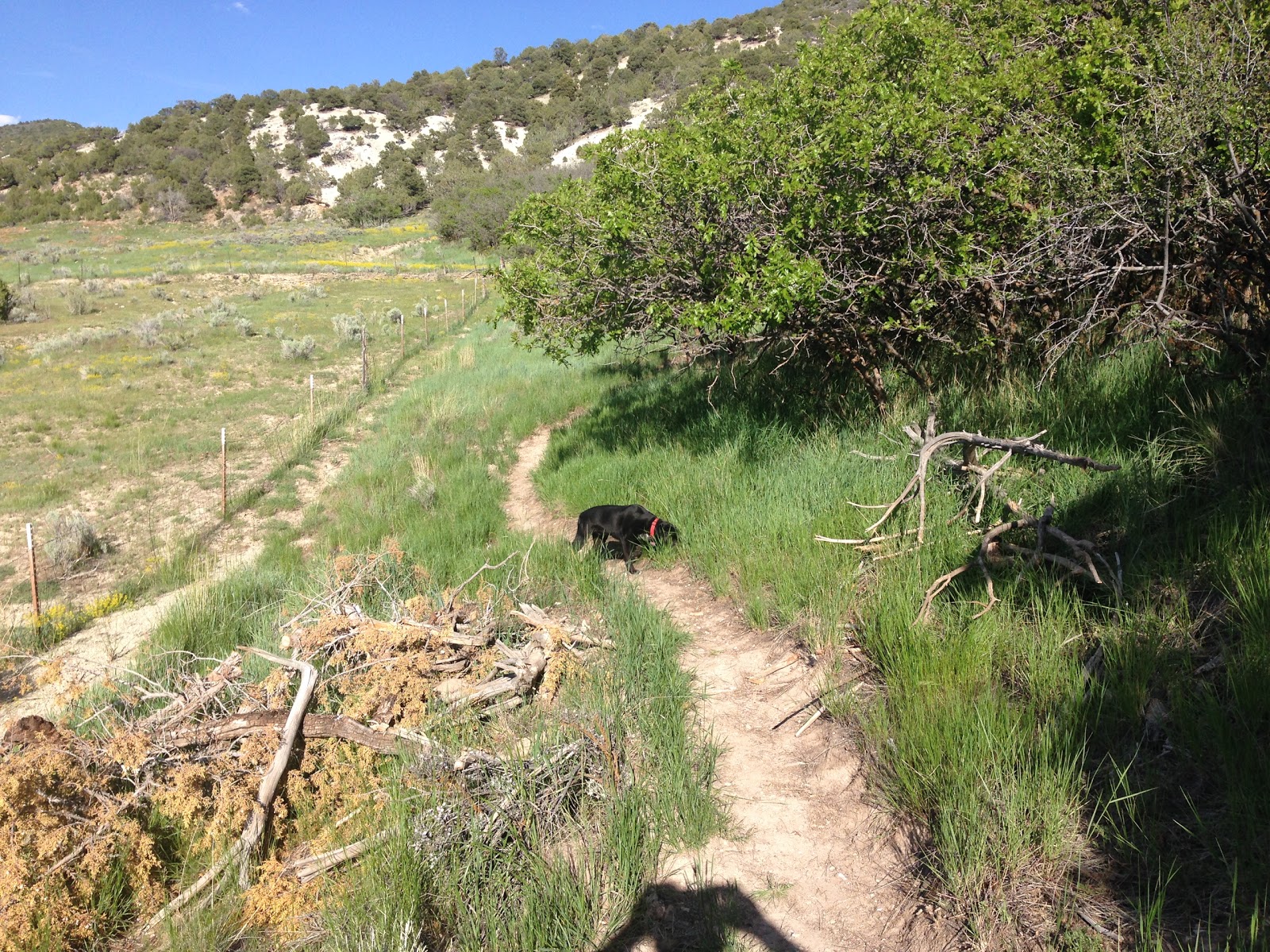
New section again where I did a lot of shoveling and raking. I tried to make it go up and down with lot's of turns to prevent erosion. The old trail was a little below by the fence where an erosion ocurred. It is so much better now. Thanks for this IMBA trailbuilding book I bought! Worth the 40 bucks.
Then it goes up through this open area with sagebrush and flowers in the spring time. This is the starting of very long and wide switchbacks. This part is new.
I did quite of bit of shoveling, hoeing, and raking on this for a few weeks in March and April and I killed my back! This right here is a big old wide U turn and I made 3 more in this meadow. It's all a gradual 3 percent average grade uphill. So instead of going straight up on this mountain, I did big large switchbacks to make the climb easier. And it's even fun going down!
Another big U turn.
Like I said, trying to prevent erosion. Lot's of turns and ups and downs.
Through some trees.
This is a cool section through the trees and I did a lot of clearing when I worked on it.
Then out through the old game trail I didn't work on.
More game trail.
Then it goes up to the top of this hill....
....and see this view.
Then through some junipers towards the mouth of Ephraim Canyon. Still a game trail.
Then more new trailbuilding starting here which I tried to make it go up to the canyon.
More junipers and sagebrush.
Now almost done riding the trail and the trail ends up at the end of the paved canyon road where the 25 speed limit sign is.
So now I turn around I retrace the trail and go for a fun intermediate/beginner downhill. Or you can keep going up the canyon to ride on the Flume or other trails up there.
Retracing....
Fun!
....view again.
Well, this guy I talked to said in a few months he will tell the DNR about this trail to have them put a trail sign for it to keep the atvs off to keep it singletrack. Just like the ones up at Black Hill area. Seems like those trail signs there are working and are staying singletrack. He thinks the DNR will definitely consider this a trail because this is a perfect beginner/intermediate trail because there are hardly any of those near the town of Ephraim. It's perfect because it's close to civilization and there are a lot of people that get scared of the Flume Trail, etc. He said he took his wife on it and she loved it. That's great. And it's really an awesome hiking trail(perfect for Sunday walks). I hope it turns out and I love this trail myself so far! I'll keep riding it.

Here's a Strava map of one of my rides I did on this trail. Deer Run Trail is one mile long each way. The naming of the "Deer Run Trail"? Well, I was thinking about this name for a while because I really liked the name of another trail in Black Hill area which is called "Rabbit Run". For some reason I thought of "Deer" because I always see deer in this area. Then one day working on the trail, my dog was out there with me, and one time I looked up to wipe my face, I saw this deer running across the meadow and was just running and hopping. Just the deer and no one else. It was beautiful. Then I said to myself, "it's official, the trail is called "Deer Run"". Then a couple seconds later, my dog popped out. Thanks Duke! Well, the deer has gone up to the top of the hill. Now go ride the trail! Or hike it, or do whatever. Like I care...